OUR SERVICES
Professional Surveying, Mapping & Geospatial Services
Accurate information. Experienced judgment. Reliable delivery—from property surveys to complex transportation and development assignments.

Accurate information. Experienced judgment. Reliable delivery—from property surveys to complex transportation and development assignments.
POB supports public agencies, engineering and architectural firms, developers, contractors, utilities, attorneys and property owners across Florida. Explore the 8 core practice areas below to see how we can support your next project.
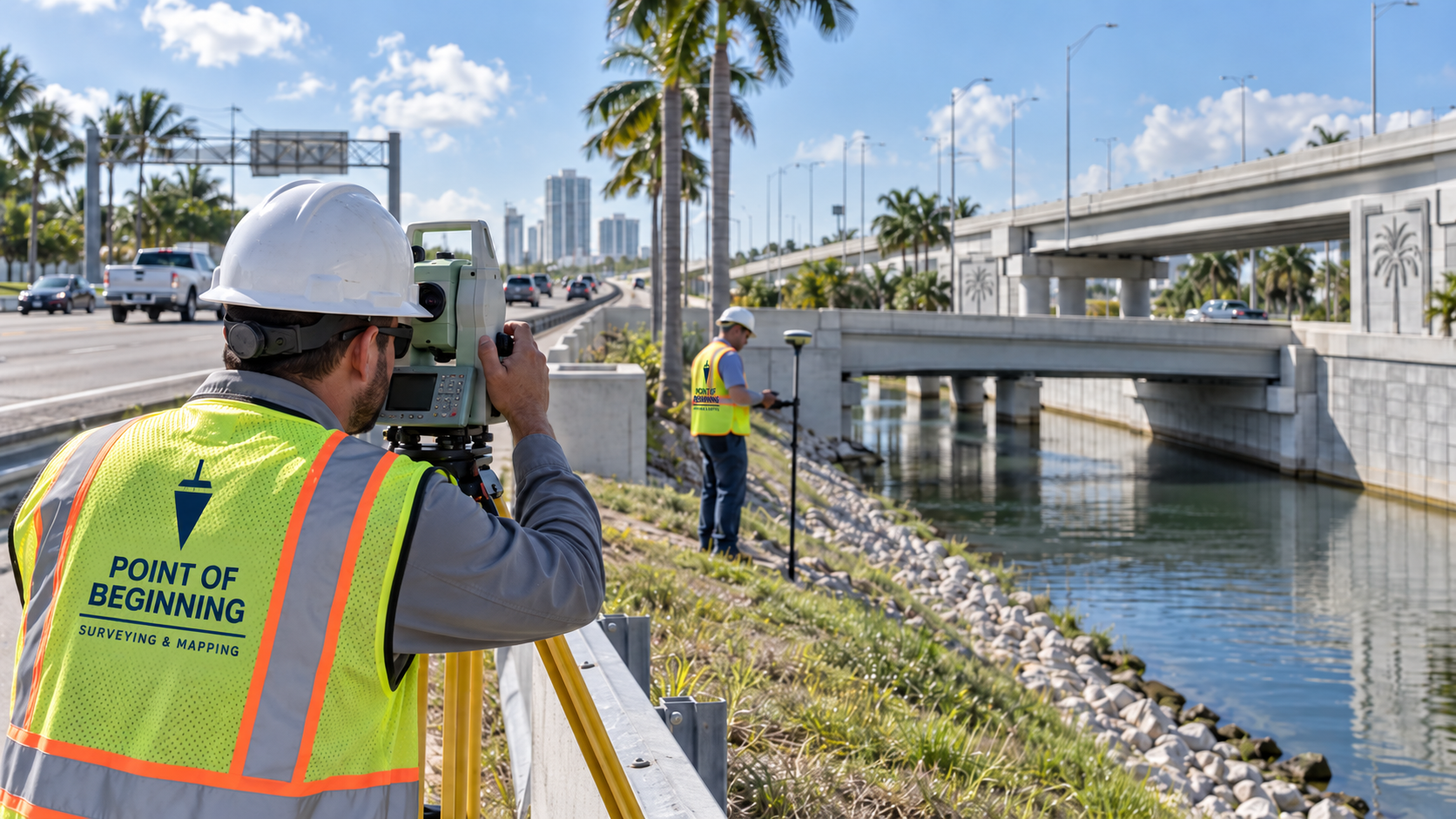
POB supports roadway, bridge, drainage, utility, municipal and other public infrastructure projects with dependable survey information and effective project-team coordination.
Our leadership understands public-agency standards, multidisciplinary coordination and the requirements of transportation project delivery.
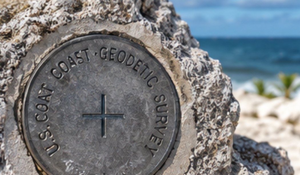
Property ownership, due diligence, design and development rely on sound boundary determinations and clear existing-conditions information.
We evaluate record evidence, monumentation and field conditions to develop clearly documented and defensible survey products.

Accurate project control and defensible right of way determinations form the foundation of transportation design, acquisition and infrastructure improvements.
Our approach combines record research, survey evidence, precise control and an understanding of how mapping products are used by agency and design teams.
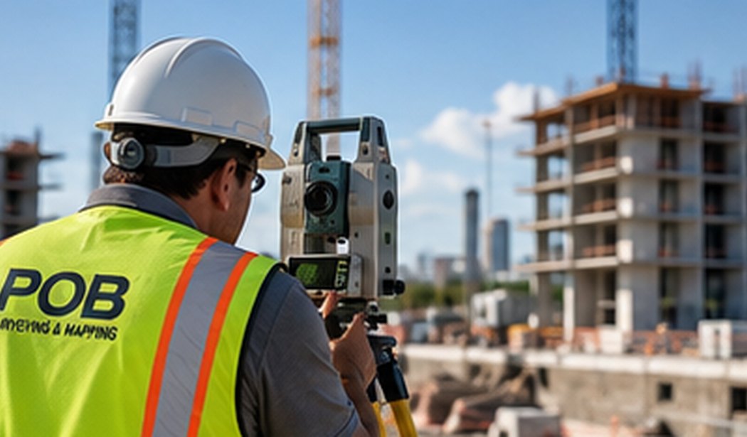
From establishing control to documenting completed work, POB provides timely survey support for contractors and project owners.
We recognize the impact of field schedules and the importance of maintaining clear coordination with contractors, owners and design professionals.

We support the land development process from due diligence and design through subdivision, entitlement support and related survey documentation.
Our professionals bring both surveying and development-project perspective to the preparation of reliable mapping and property-related deliverables.
Specialized surveying and graphic documentation for residential, mixed-use, high-rise and other condominium developments.
Condominium documentation demands precision and coordination between the physical project and its intended legal description and ownership structure.
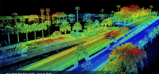
POB uses a combination of conventional surveying and modern geospatial tools to document complex site conditions and develop useful spatial data.
We select technologies based on project scope, site conditions, required accuracy and the intended deliverable—not technology for its own sake.

Professional surveying consultation, objective technical analysis and expert support for attorneys, public agencies, developers and property owners.
Our professionals focus on evaluating evidence objectively and communicating complex survey issues in a clear, understandable and professionally defensible manner.
POB also supports assignments involving hydrographic surveying, GIS, historical monument research, archaeological and historical documentation support, specialized control surveys, independent survey review, and custom mapping exhibits.
Where a project requires specialty resources beyond our direct capabilities, we can coordinate with qualified teaming partners as appropriate.
Survey information informs designs, transactions, construction decisions and property rights. Our procedures emphasize field verification, appropriate computations, review of record evidence, clear documentation, and licensed professional oversight.
✓ Appropriate field procedures and control checks
✓ Careful analysis of the available evidence
✓ Quality review of mapping and survey products
✓ Clear deliverables tailored to the intended use
Start with your project, not the survey type. Tell us about the property, transaction, development, construction activity or legal matter, and we can help identify an appropriate scope.

Point of Beginning Surveying & Mapping, Inc.
631 Lucerne Avenue, Suite 110
Lake Worth Beach, FL 33460
(561) 922-5314
Contact@POBSurvey.com
Florida Professional Surveying & Mapping Business — LB8664
FDOT Prequalified · Florida SBE
Home · About · Services · Experience · Contact